
Palo Alto ZIP Code Coverage
Seven postal codes appear in the Palo Alto picture, but their shapes and uses differ. The areas below are practical research groupings from the local source material, not an official neighborhood boundary table. USPS does not publish one authoritative neighborhood-by-ZIP chart for Palo Alto. Confirm every exact address before attaching a city or resident record to a postal area.
| ZIP | Areas commonly served | Post office or station context | Boundary and record notes |
|---|---|---|---|
| 94301 | Downtown, Professorville, Old Palo Alto, Crescent Park, University South, central and north areas | Downtown Palo Alto delivery area | Core city ZIP; neighborhood edges are approximate |
| 94302 | Palo Alto PO boxes | Palo Alto postal facility | PO-box-only; no residential street geography |
| 94303 | Midtown and east Palo Alto areas, with addresses toward East Palo Alto | Palo Alto delivery area | Verify Palo Alto or East Palo Alto parcel jurisdiction |
| 94304 | Stanford Research Park, foothills, west and southwest institutional or medical corridors | Stanford and Palo Alto delivery context | Many institutional addresses and sparse residential zones |
| 94305 | Stanford University | Stanford post office | Stanford campus is outside incorporated Palo Alto |
| 94306 | College Terrace, Ventura, Barron Park, Green Acres, Greenmeadow, Fairmeadow, south Palo Alto | California Avenue and south Palo Alto delivery area | Mixed annexation and development histories |
| 94309 | Postal-use or special handling | Unique or administrative postal use | Not a normal residential neighborhood ZIP |
Use the table as a starting index. A ZIP code directory answer becomes reliable only after USPS confirms the address and GIS confirms the government boundary.
Why 94302 and 94309 Are Not Neighborhoods
ZIP 94302 is described in the research as PO-box-only. ZIP 94309 is a postal-use or special-handling code rather than a normal residential neighborhood. Neither should be turned into a list of Palo Alto streets or residents. A name attached to a postal box is not a situs address, and a unique postal code does not identify a parcel.
When a search returns one of these postal codes, ask what kind of address is present. USPS can verify delivery information. The county assessor and city parcel reports need a physical address or APN. A public-record request should describe an existing record and its date range rather than ask an agency to create a resident list from a postal label.
Postal clue. A PO-box or special-use ZIP can route mail without describing where a person or parcel is physically located.
94303 and the Palo Alto Boundary
ZIP 94303 is the clearest boundary trap in a Palo Alto ZIP code directory. The delivery geography can include east Palo Alto areas and addresses that are commonly described as Palo Alto, while East Palo Alto is a separate city in San Mateo County. A postal city label cannot decide whether a City of Palo Alto permit, county parcel report, or a different municipal record applies.
Resolve the exact address first. Use USPS for the delivery ZIP, then Palo Alto Parcel Reports or county GIS for the parcel and municipal context. If the parcel is outside incorporated Palo Alto, follow the actual city and county custodian. Preserve both the mailing label and the legal jurisdiction in research notes so a later reader can see why the sources differ.
94305 Means Stanford, Not Palo Alto City
ZIP 94305 is principally Stanford University. Stanford is adjacent to Palo Alto and shares strong postal and cultural associations, but it is not incorporated Palo Alto. A Stanford address can therefore appear in a Palo Alto conversation while the relevant institutional, county, court, or archive record follows a different jurisdiction. The postal label alone cannot choose the office.
Institutional addresses also change the meaning of a people lookup. A campus office, school building, laboratory, or medical site is not the same kind of evidence as a residential situs. Check the exact parcel, organizational record, and event venue before treating a name or address as a Palo Alto resident connection.
The Residential Core of ZIP 94301
ZIP 94301 commonly reaches Downtown, Professorville, Old Palo Alto, Crescent Park, University South, and central or north Palo Alto areas. Those neighborhood labels help a researcher choose a likely map view, but they do not define exact postal or civic edges. Historic streets, subdivisions, and annexation patterns can cross the assumptions a simple ZIP search makes.
For a ZIP directory search, verify a street address with USPS, save the APN from the Assessor, and inspect the parcel in Discover GIS. Then use the address-keyed record that answers the question: permits for city development, deeds for legal transfer, or the library for older listings.
The official USPS address-to-ZIP lookup is the correct first check for a specific delivery address.
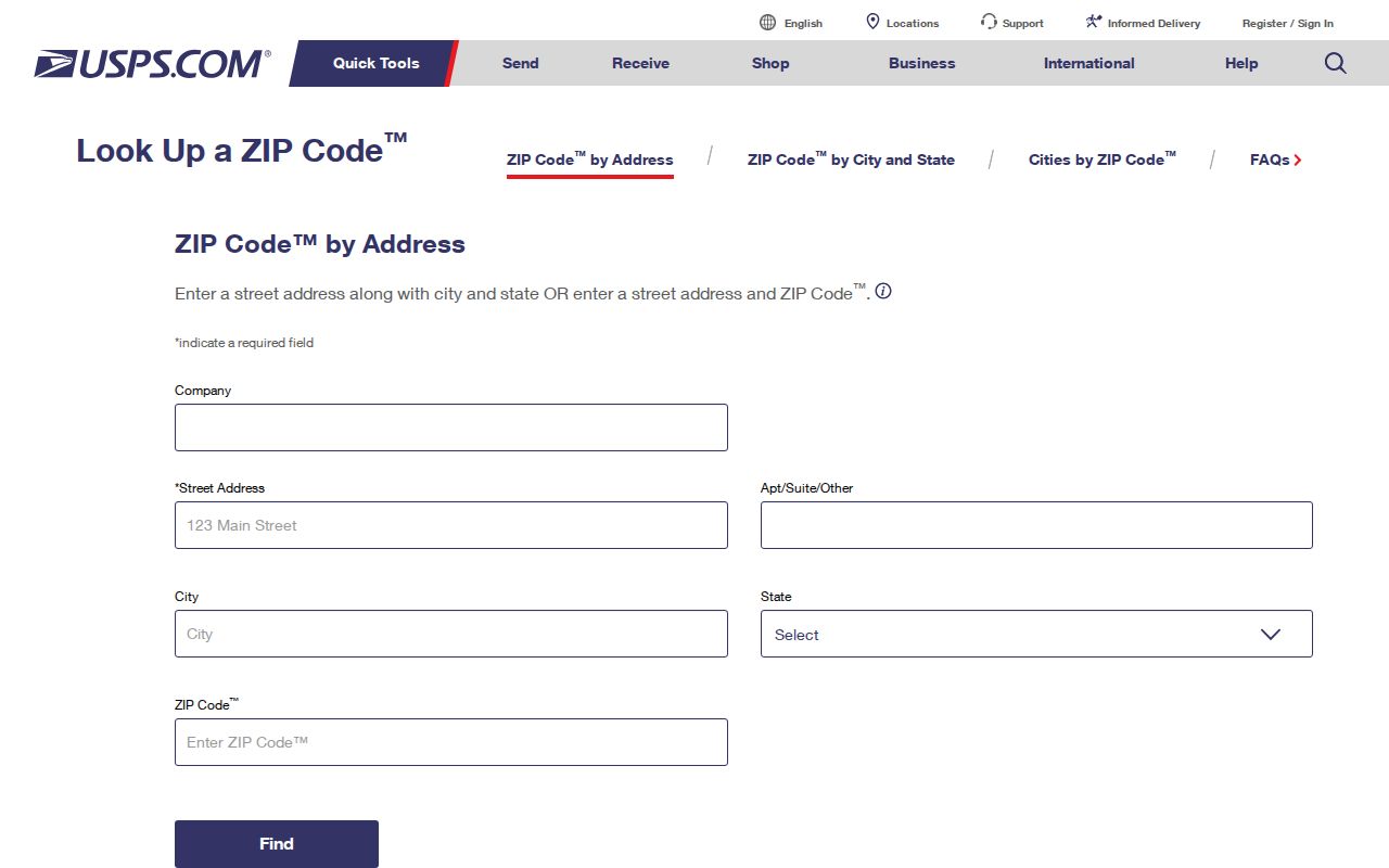
The USPS screen shows why a ZIP code must be verified at address level rather than copied from a neighborhood description.
South Palo Alto Through ZIP 94306
ZIP 94306 commonly covers College Terrace, Ventura, Barron Park, Green Acres, Greenmeadow, Fairmeadow, and other south Palo Alto areas. The same zone carries several layers of development history. College Terrace grew beside Stanford, Barron Park retains an annexation and unincorporated-history layer, and postwar tracts can be especially useful for pairing permits, tract material, 1950 census work, and mid-century directories.
Mayfield’s 1925 annexation is important when a south Palo Alto record looks absent. Search Mayfield in early newspapers, directories, plats, and deeds, then join the older place name to the later parcel by legal description or APN ancestry. A postal code is current routing information; the directory and deed trail can use an older civic name.
Institutional and Foothill Addresses in ZIP 94304
ZIP 94304 includes Stanford Research Park, foothill, west and southwest institutional or medical corridors, and many business or organizational addresses. It can contain sparse residential geography. A postal guide that treats every 94304 result as a household list will overstate what the routing data says.
Use the Secretary of State business search, DCA license records, Palo Alto permits, and county parcel tools when the name is tied to an organization or project. The address may identify an office, agent, campus facility, or medical site. A public filing can establish an affiliation, but it does not prove residence.
USPS, ZCTA, and Palo Alto Limits
USPS ZIP codes are delivery routes. Census ZCTAs approximate those routes for statistical reporting and are not USPS delivery boundaries. Palo Alto city limits are legal government geography. A postal guide can use all three concepts only when it labels them correctly. Do not use a ZCTA map as proof that a parcel lies in the City of Palo Alto.
The Census ZCTA explanation describes the statistical approximation. The image below belongs to that geographic distinction.
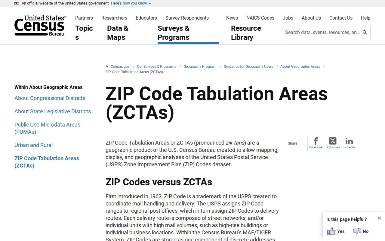
Use ZCTA data for labeled population or geographic analysis. Use USPS for delivery verification and GIS or parcel reports for the legal record path.
- ZIP
- A USPS delivery-routing identifier attached to an address or postal facility.
- ZIP+4
- An extended delivery code that can narrow a route beyond the five-digit ZIP.
- PO-box ZIP
- A code serving postal boxes rather than a mapped set of residential streets.
- Unique ZIP
- A special postal assignment often tied to one organization or administrative use.
- ZCTA
- A Census statistical approximation of ZIP geography, not a delivery boundary.
Search Palo Alto Permits by ZIP
Palo Alto’s permit and planning systems add a useful postal-scale search layer. BuildingEye was designed to filter by Address or Area, including postal area, neighborhood, planning district, and custom GIS layers. Accela’s record search can use street components, record number, project name, date range, and record type. A marker or result can open an information panel with project address, description, status, dates, inspections, and linked documents.
| Portal mode | Type | Use in a postal-directory workflow |
|---|---|---|
| Street number / street name / unit | Address text pair | Moves from ZIP to exact parcel or project |
| Record number / project name | Text fields | Finds a known permit or planning case |
| Start date / end date | Date pair | Narrows development activity by period |
| Record type | Module dropdown | Separates building, planning, and related records |
| Area filters | Map or filter mode | ZIP, neighborhood, planning district, or custom layer where enabled |
Use the Palo Alto Accela portal for an address or record. A ZIP filter narrows development evidence. It does not create an official ZIP-based resident roll.
ZIP Filters and Voter Access
California My Voter Status is a private self-check. Fuller voter data requires an approved purpose and county request form under Elections Code section 2194. Geographic scope can be part of an approved file, but ZIP is not a free reverse directory for a name or street. Participation history shows that a ballot event was credited, not how anyone voted.
The California voter registration guidance explains the self-status route and confidentiality limits.
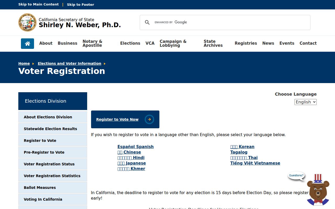
The image reinforces the difference between a private status match and an approved data request. Safe at Home participants can have a substitute address and confidential registration.
Privacy and Public-Records Fallbacks by ZIP
A postal area can narrow a records request, but it cannot override the California Consumer Privacy Act, CPRA amendments, Safe at Home, voter rules, or record-specific exemptions. A request for city permits, contracts, correspondence, or project files should identify an existing record, date range, department, address, or postal scope. A request to name every person associated with a postal area asks the agency to create a list and may implicate protected information.
The California Attorney General’s consumer-privacy guidance describes rights that apply to covered businesses and the public-record limitations. The screenshot below is a useful reminder that deletion from a commercial database does not delete a deed or court file held by its custodian.
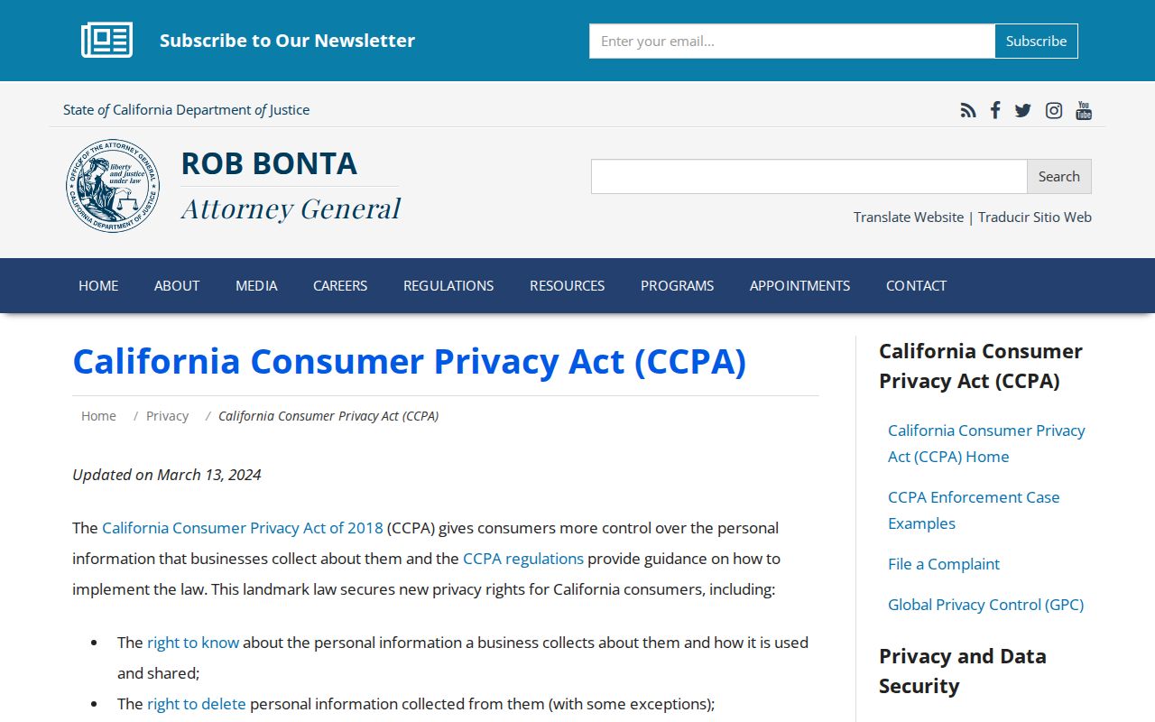
For a defined municipal record set, use the City Clerk’s public-record route. The Attorney General’s public-record access overview gives statewide context for inspection and copying.
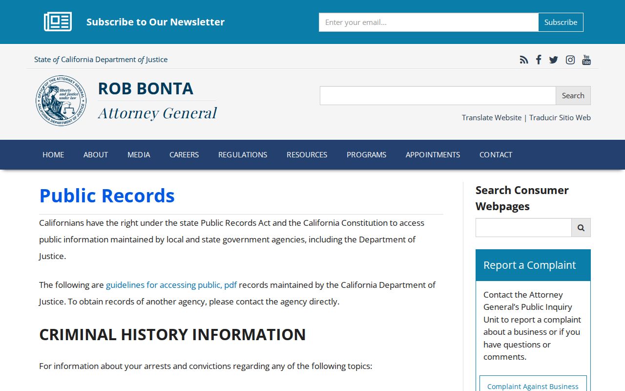
Once the ZIP narrows to a street, move to the Palo Alto street directory method for the APN, parcel, deed, permit, and historical address chain.
Palo Alto ZIP to Custodian
The reliable postal-directory sequence is short but strict: postal label to exact address through USPS, exact address to municipal context through GIS or a parcel report, parcel to APN through the assessor, and APN or event to the custodian. A 94305 campus record, a 94302 box, a 94303 edge address, and a 94306 historic parcel will each follow a different path.
- Verify the exact address and ZIP with USPS.
- Confirm the city, county, and parcel in Palo Alto reports or Santa Clara GIS.
- Save the APN and distinguish situs from mailing address.
- Choose the office: City Clerk or Accela for municipal files, Recorder for deeds, court for cases, library for history, or state office for voter and vital rules.
- State the ZIP as a narrowing clue, not proof of a person’s residence.
Boundary rule. A postal label can route a letter. The parcel, event, and custodian decide what a Palo Alto record means.